The Great Trigonometrical Survey of India (GTS) was an ambitious scientific endeavor that began in 1802, aiming to map the entire Indian subcontinent with unprecedented accuracy. At its helm was Colonel William Lambton, a British geographer and surveyor whose meticulous work laid the foundation for modern cartography in India.
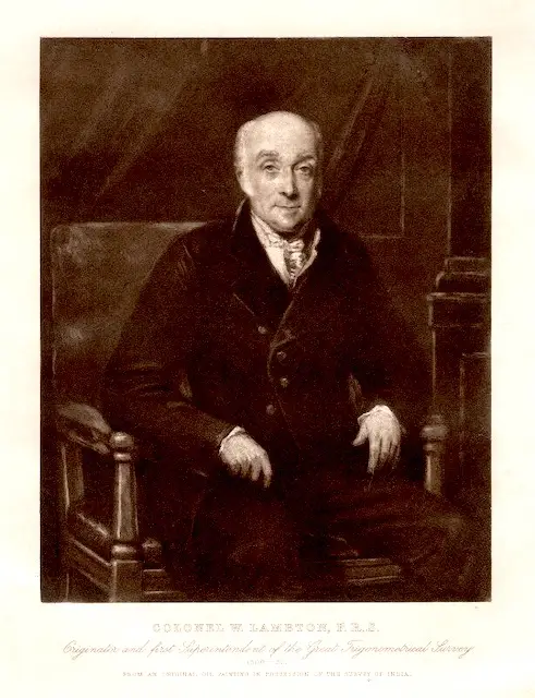
The Man Behind the Survey: William Lambton
Born in the mid-18th century, William Lambton was a brilliant mathematician and surveyor with a keen interest in geodesy—the science of measuring Earth’s shape and dimensions. He first gained recognition for his work during the Fourth Anglo-Mysore War, after which he proposed the idea of a detailed trigonometrical survey of India.
The Ambitious Project
The survey officially began in 1802, near Madras (now Chennai), using the method of triangulation, where vast distances were measured using a network of interlinked triangles. This painstaking process required heavy instruments, including the Great Theodolite, which alone weighed over half a ton.
Lambton’s work not only produced accurate maps of India but also contributed to global scientific knowledge. His measurements of arc segments helped confirm Isaac Newton’s theory that the Earth is an oblate spheroid—flattened at the poles and bulging at the equator.
Measuring Mount Everest
Although Lambton passed away in 1823, his work was continued by Sir George Everest, who expanded the survey into the Himalayas. This led to the measurement of the world’s tallest peak, later named Mount Everest in honor of George Everest.
Legacy
The Great Trigonometrical Survey became one of the most significant scientific projects of the 19th century. It not only revolutionized map-making in India but also influenced global geography. William Lambton’s pioneering efforts continue to be recognized as a milestone in geodesy and cartography.